Tour Details
Highest point
1350
m
Starting point
Wander Infoplatz Aurach
Endpoint
Wander - Infoplatz Reith
Description
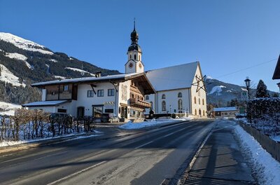
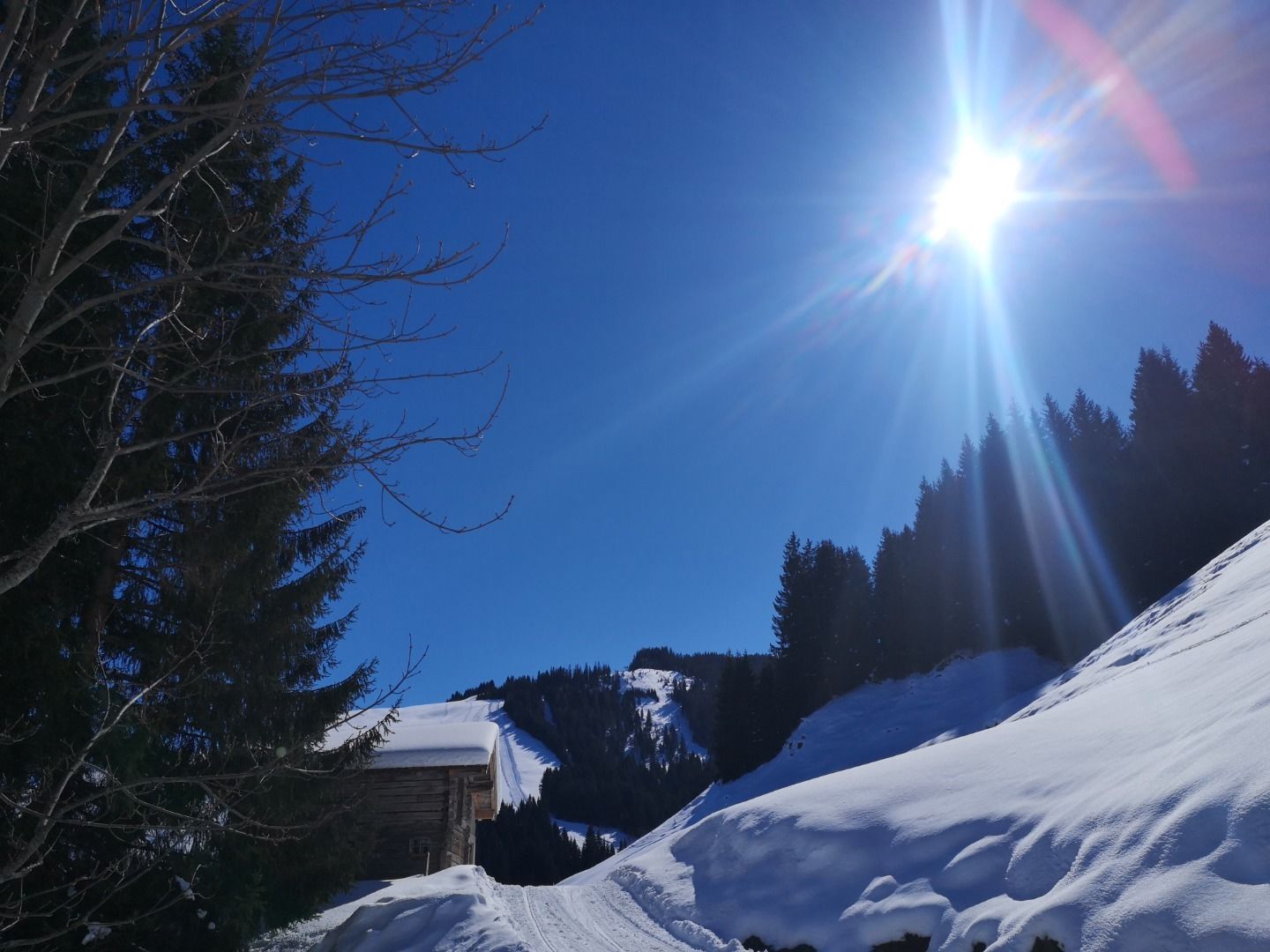
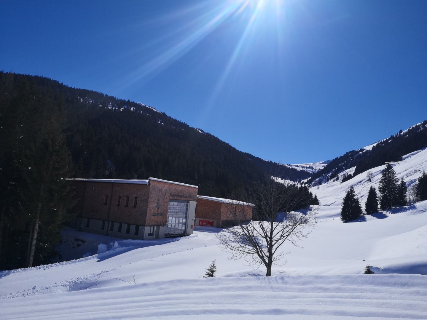
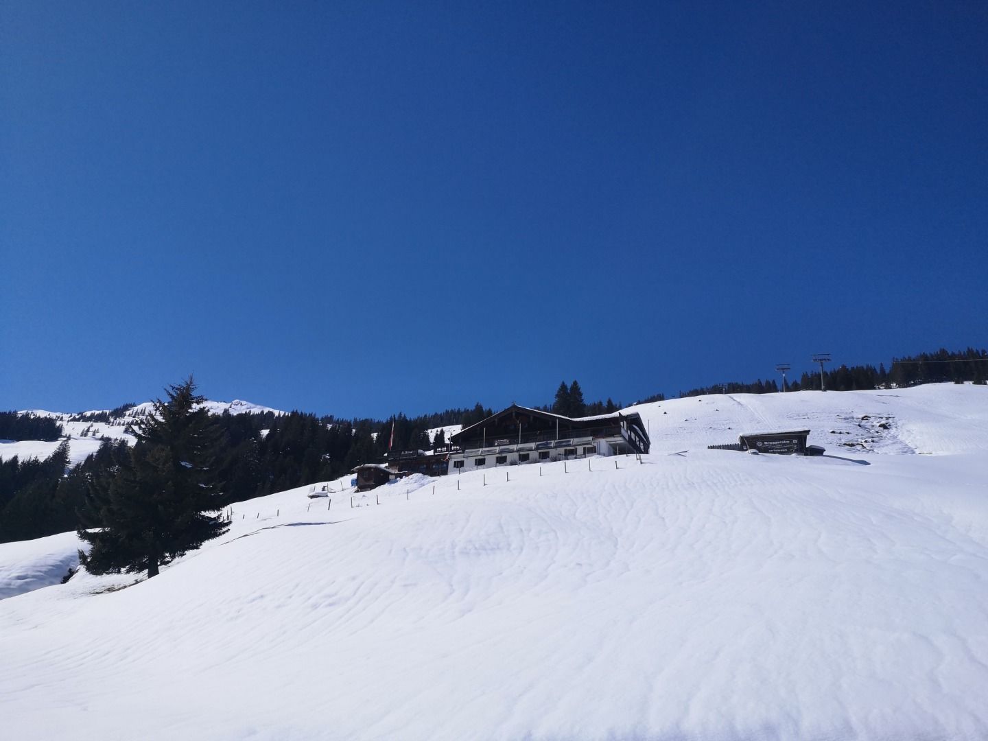
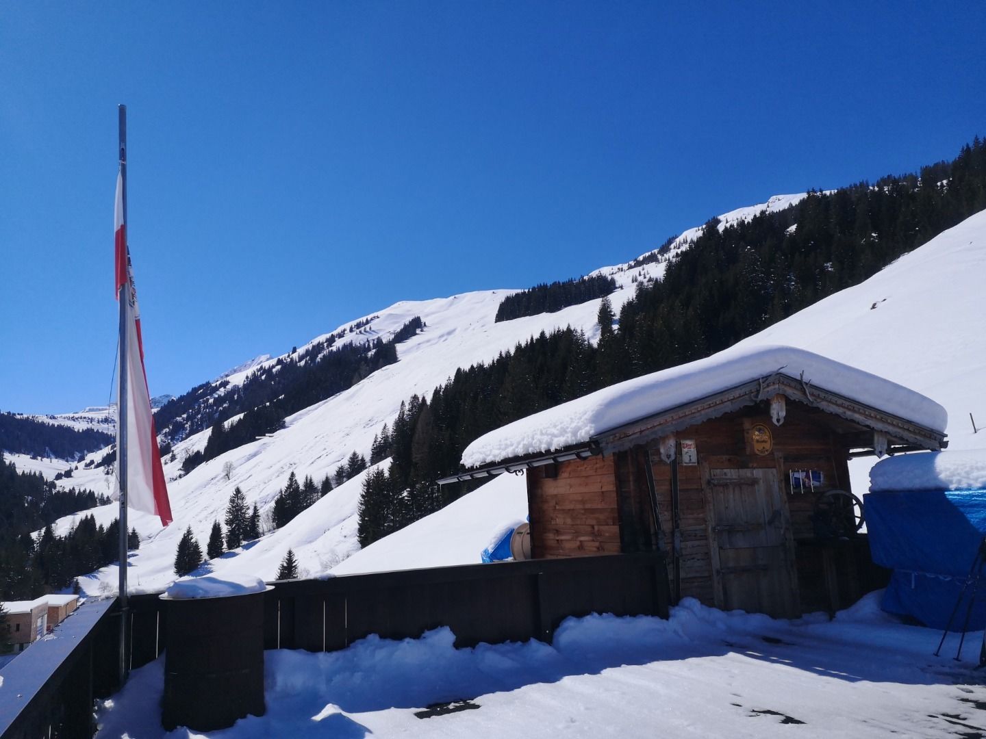
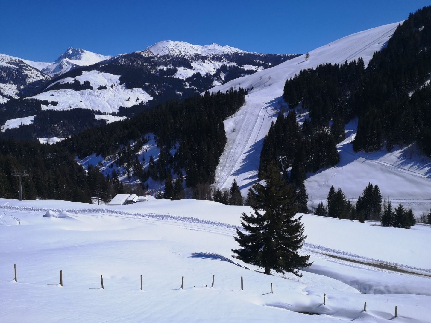
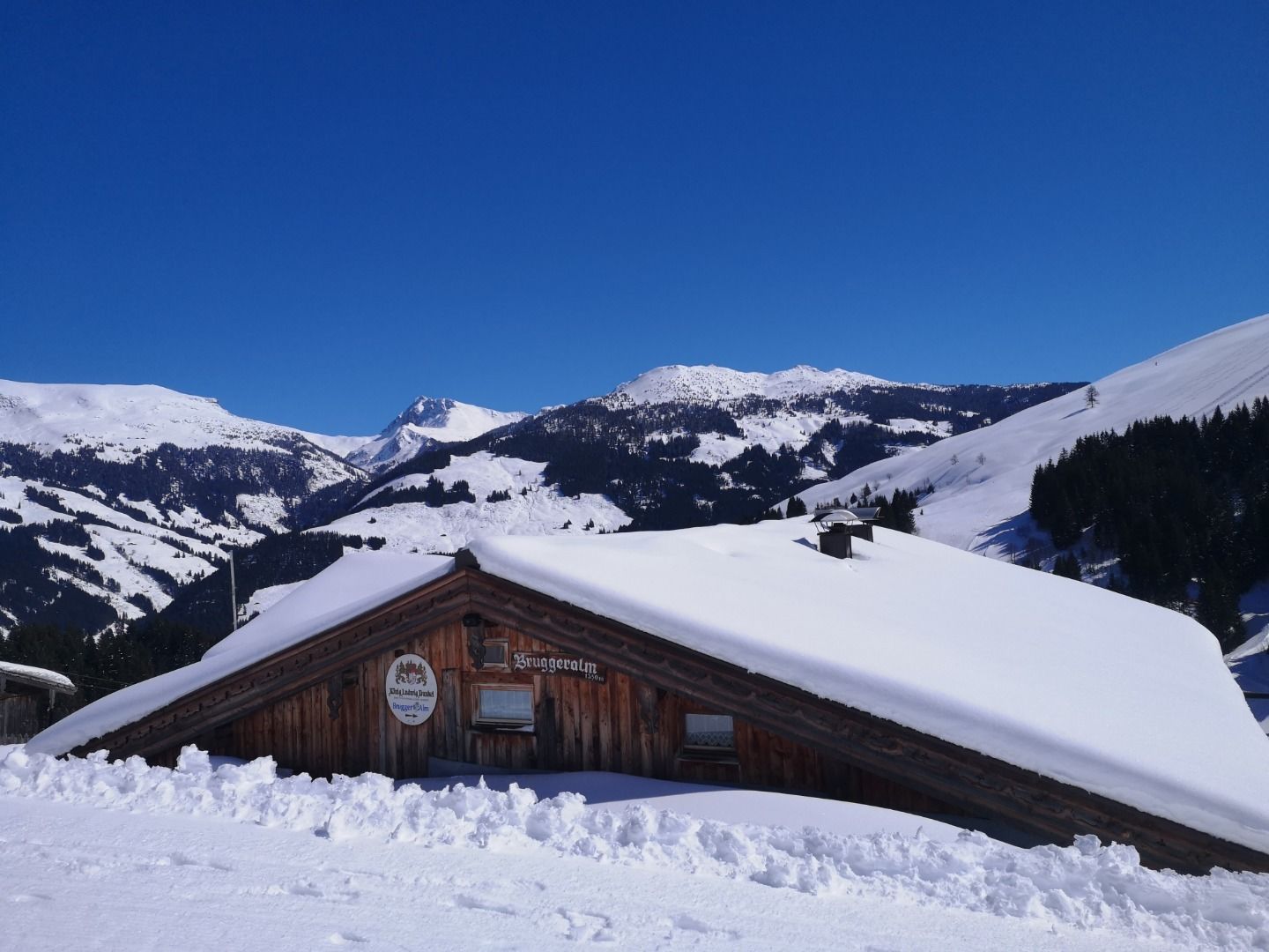
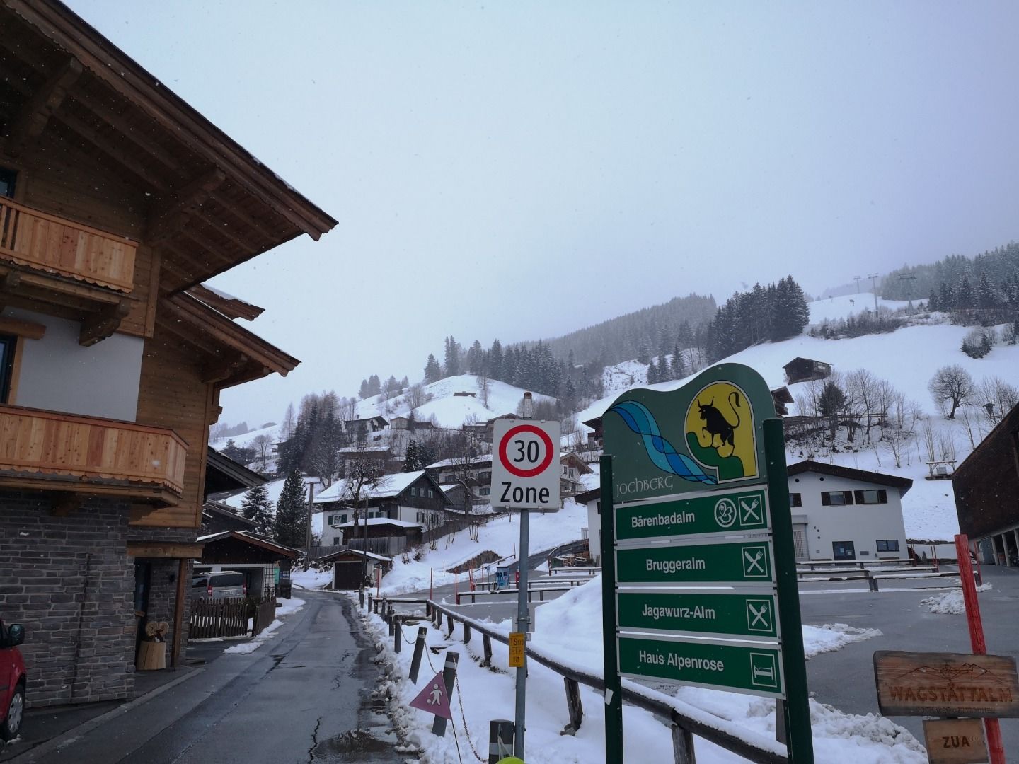
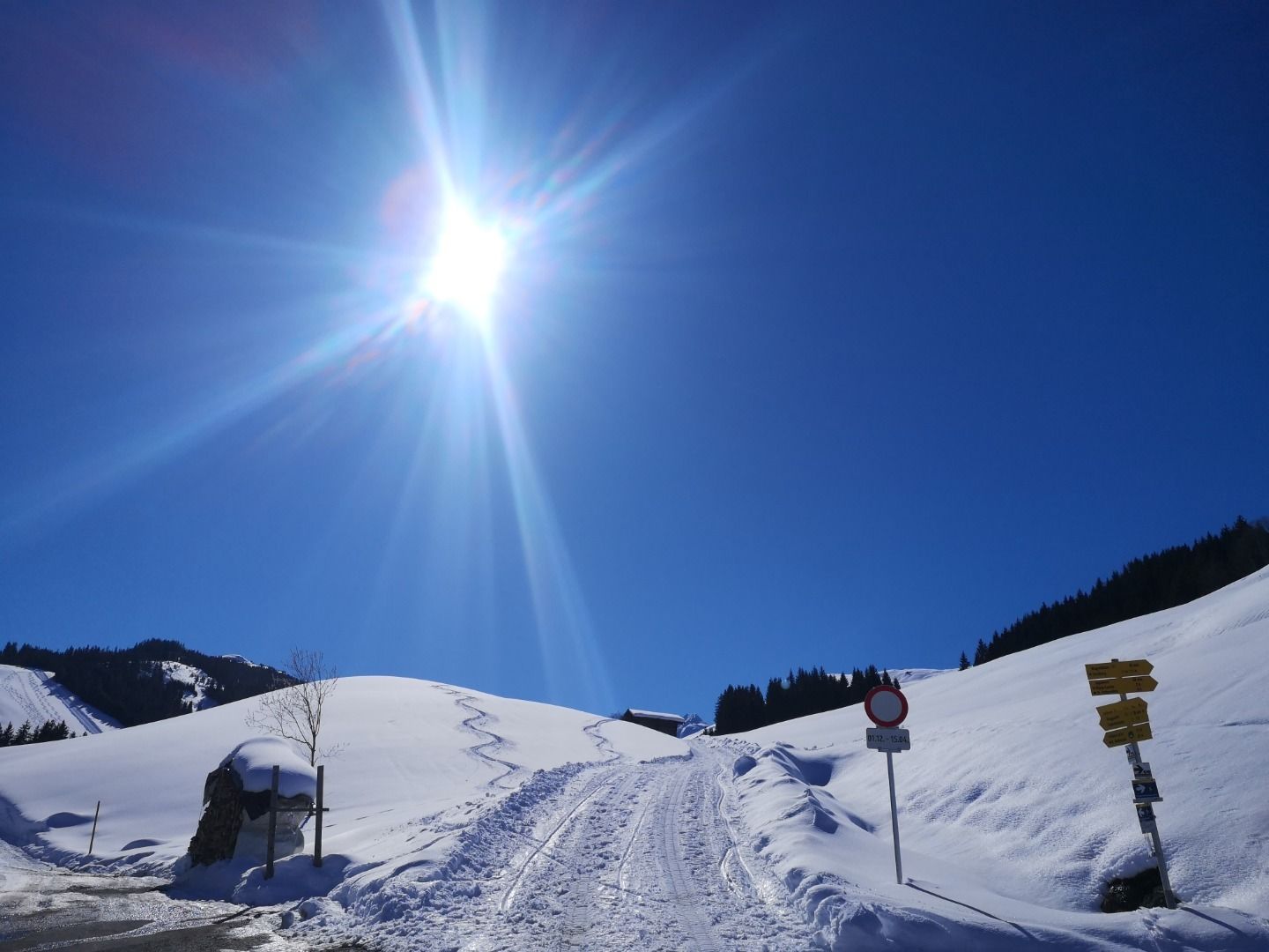
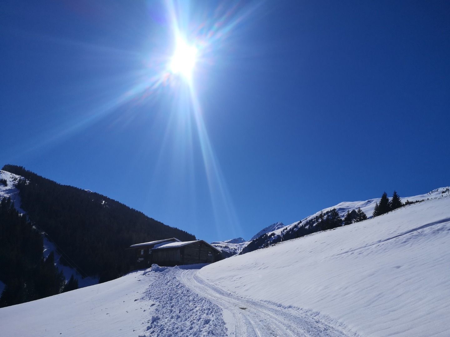
Gemeindeamt Jochberg - Kirche - Wagstättlift Talstation - Schering - Bruggeralm
Facts
Route
Gemeindeamt Jochberg - Kirche - Wagstättlift Talstation - Schering - Bruggeral
equipment
Ankle-high walkingboots, functional mountain clothing, gaiters, spikes, a comfortable rucksack, hiking poles, snacks and drinks