Höhenweg Aurach
Hike
· Hiking & mountain tour
· Walking paths
Höhenweg Aurach
Hike
· Hiking & mountain tour
· Walking paths
10.00 km
353 m
353 m
Tour Details
Highest point
1081
m
Ascent time
3:00
h
Starting point
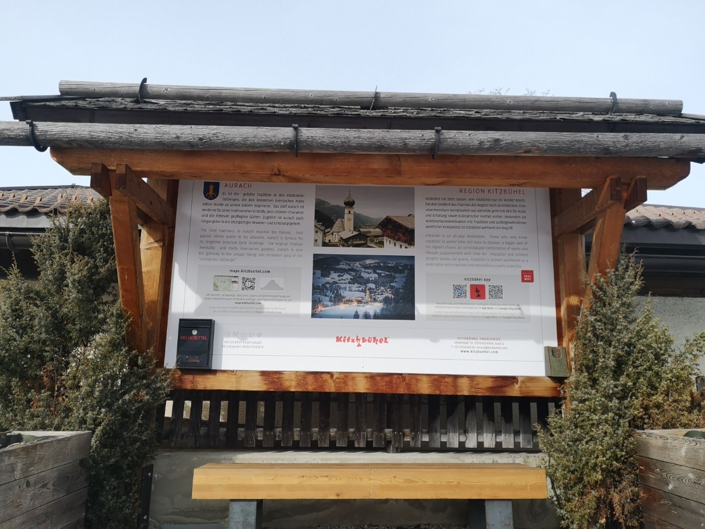
Hiking information pointAurach
Endpoint
Hiking information point Aurach
Description
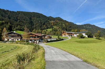
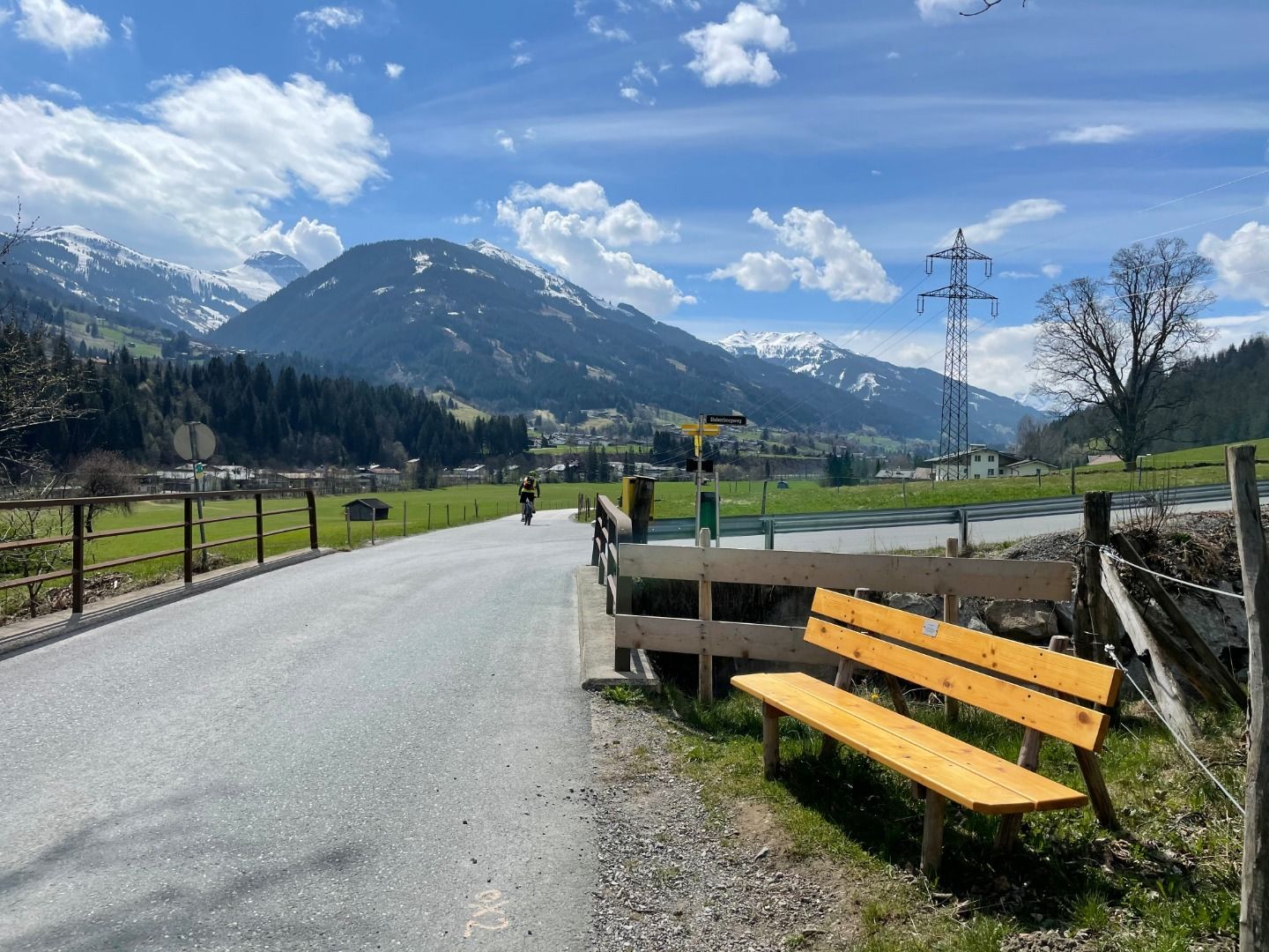
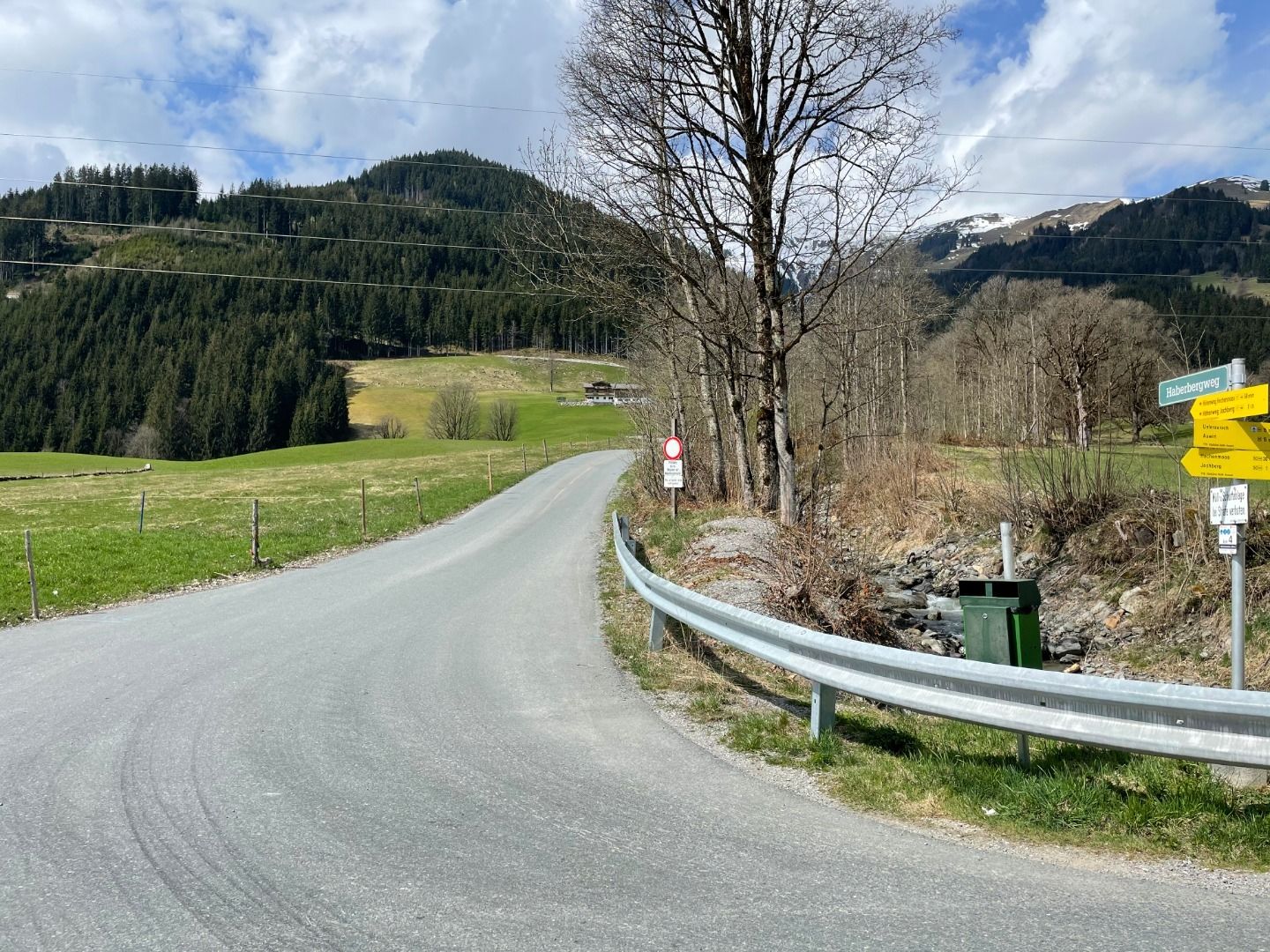
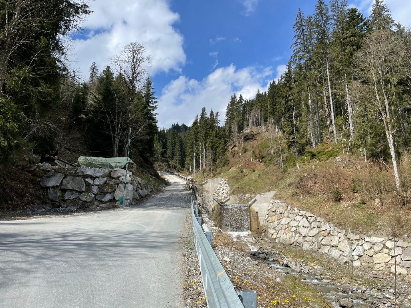
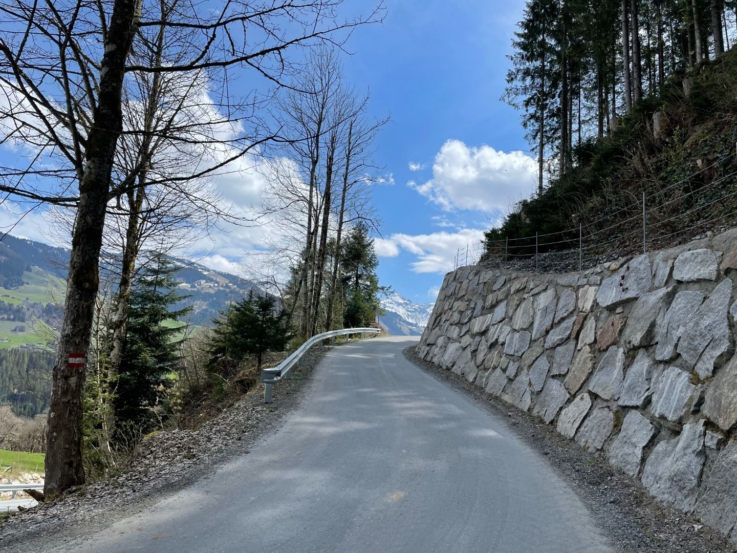
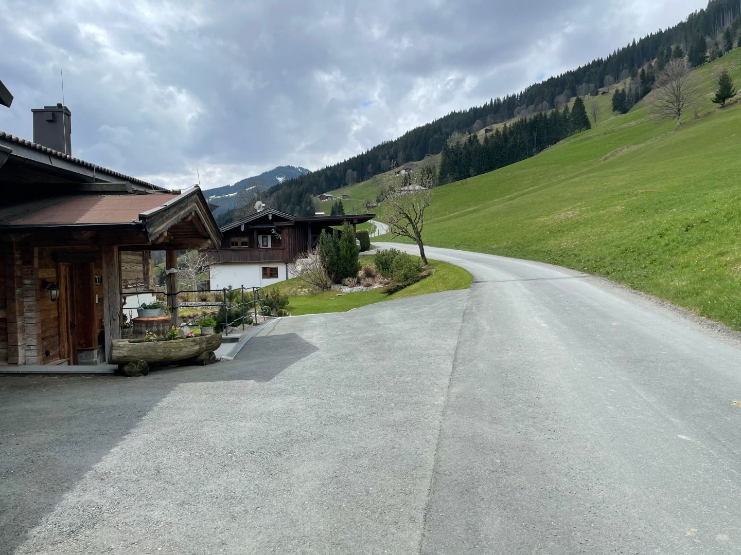
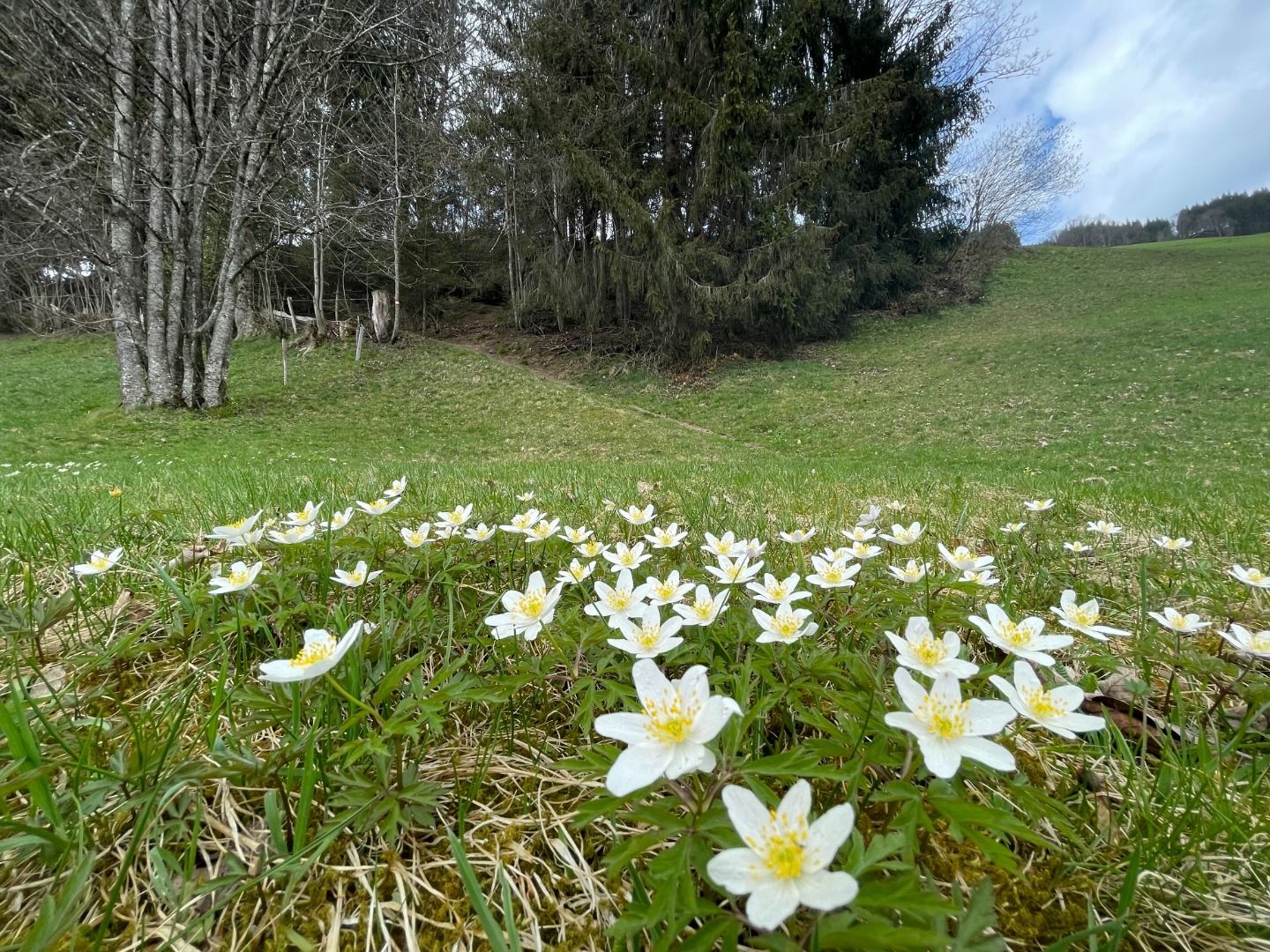
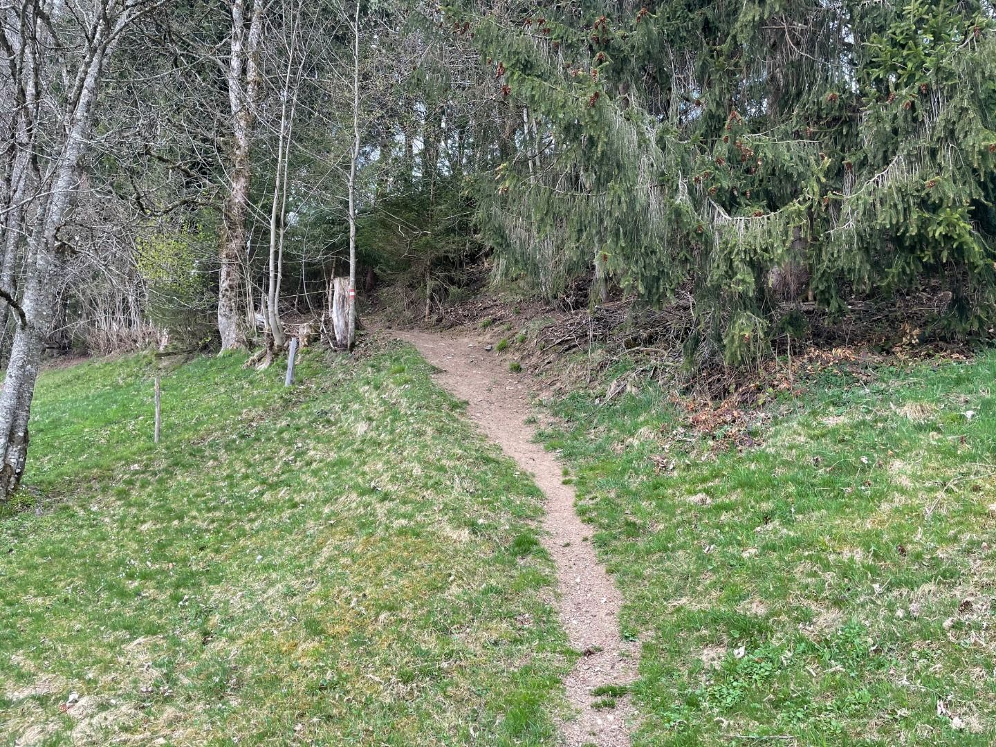
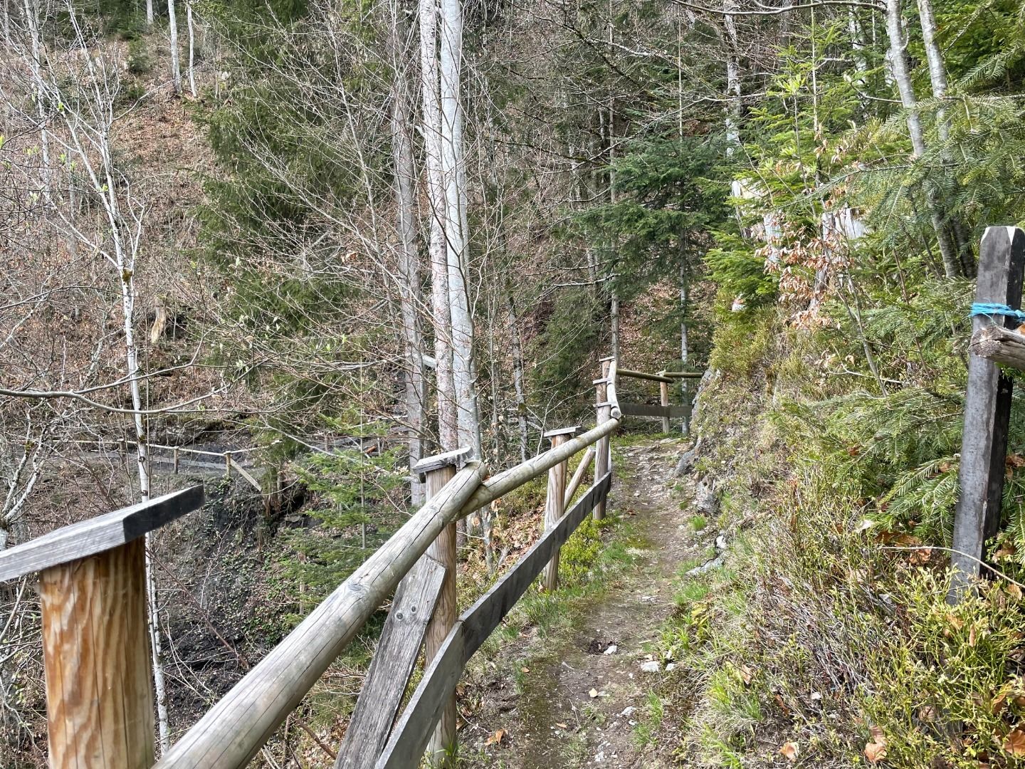
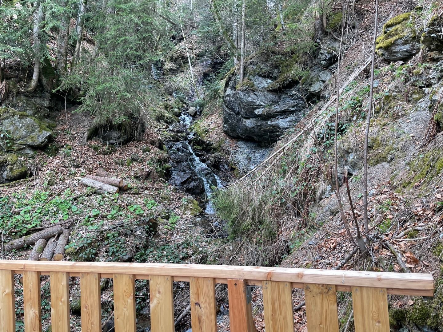
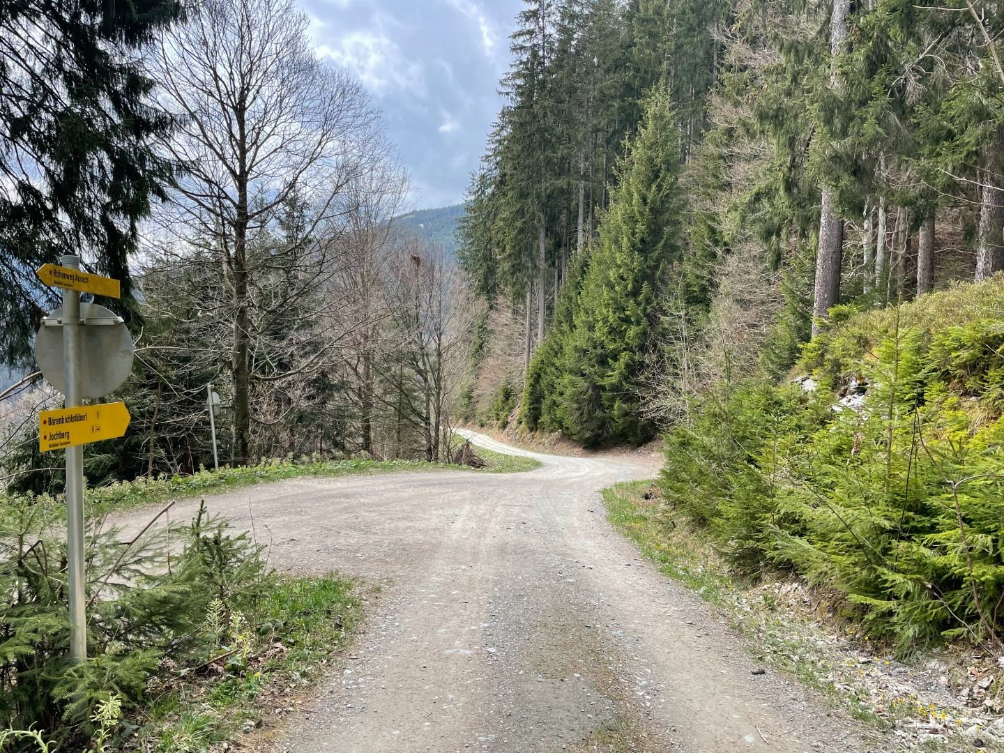
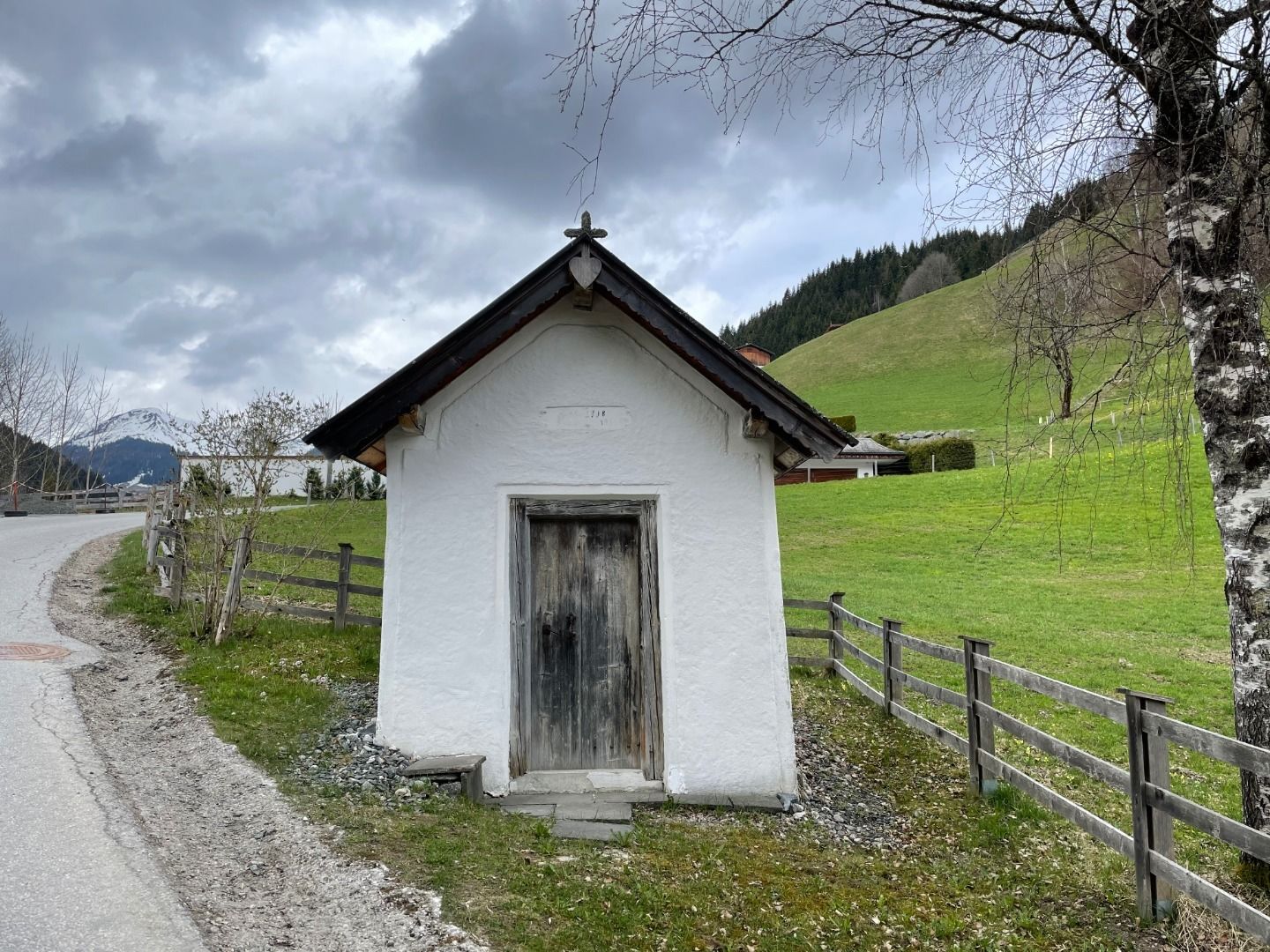
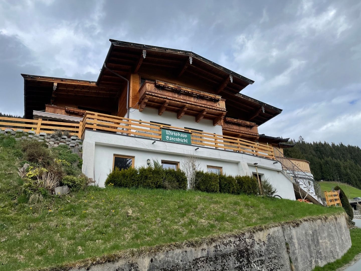
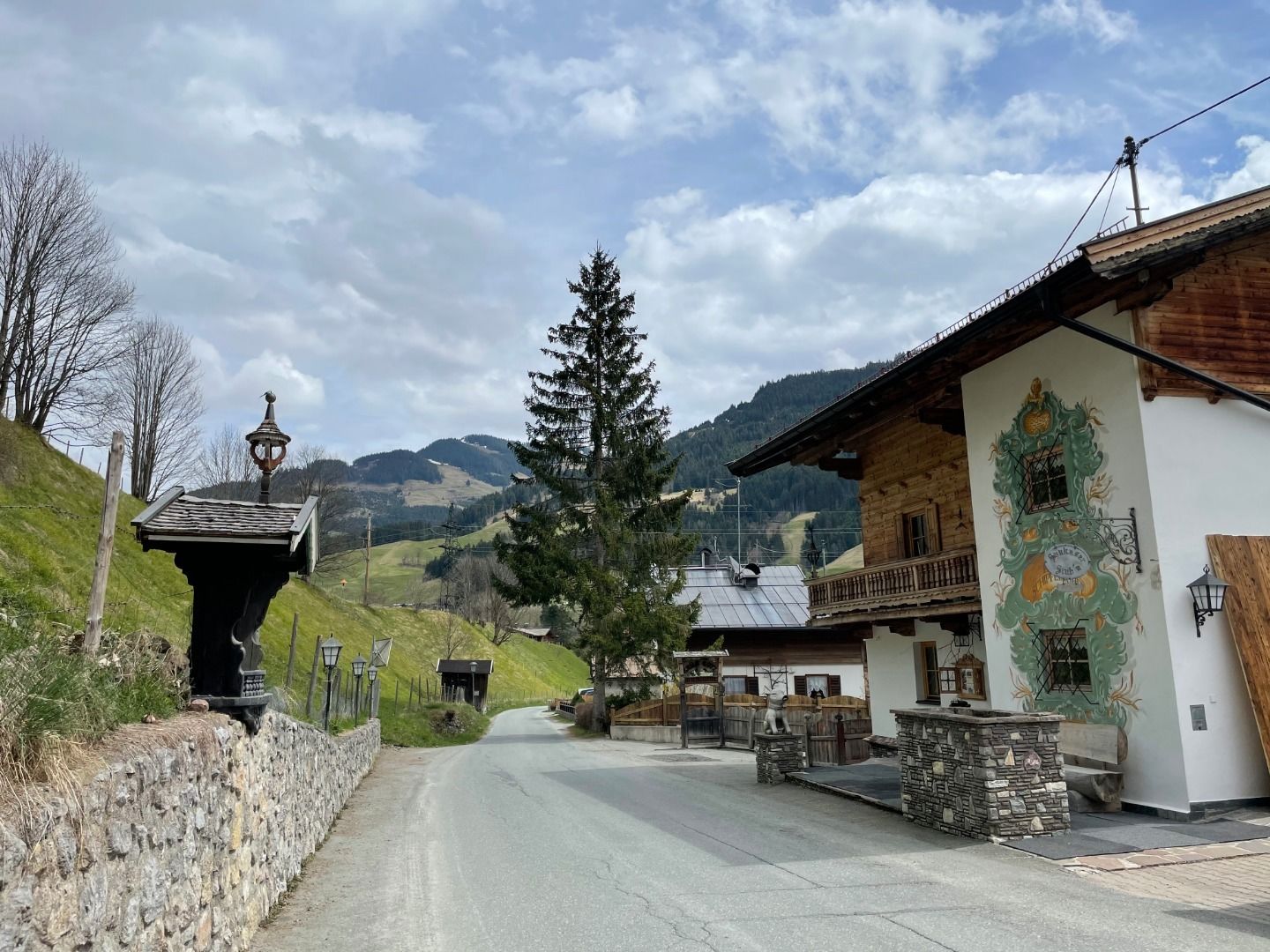
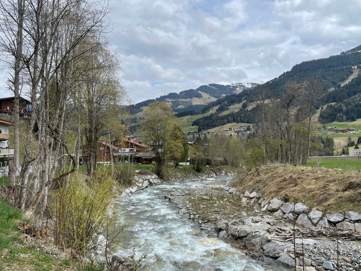
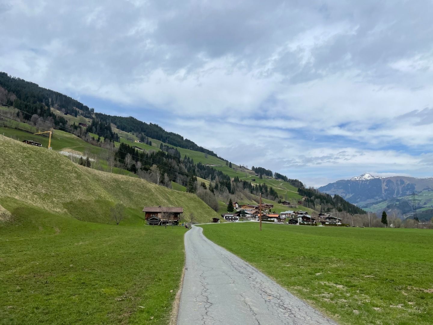
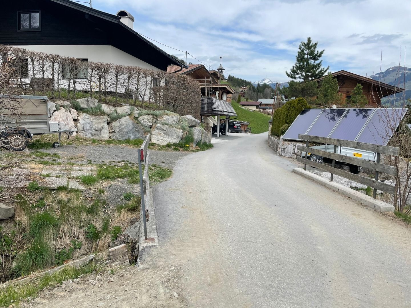
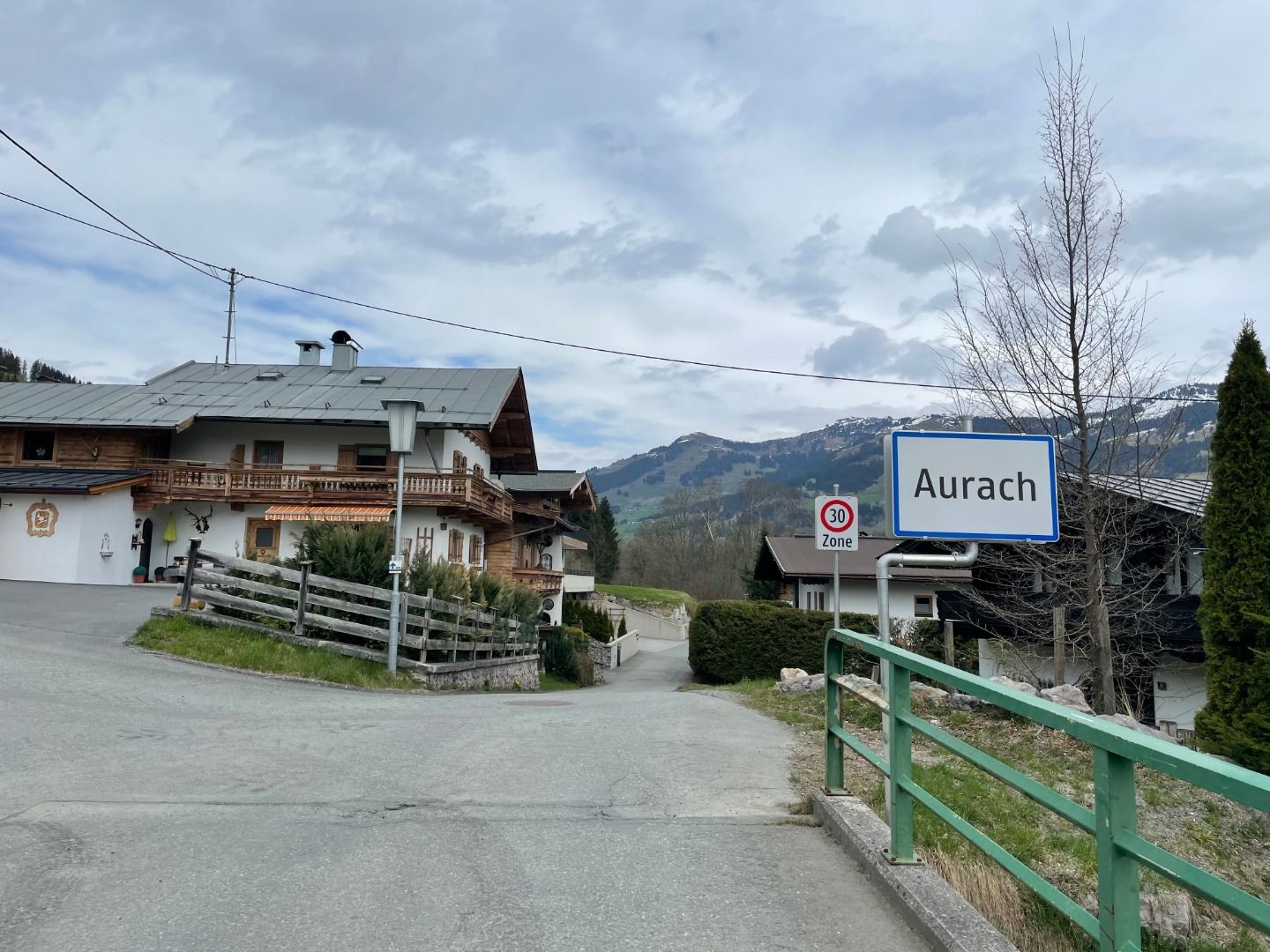
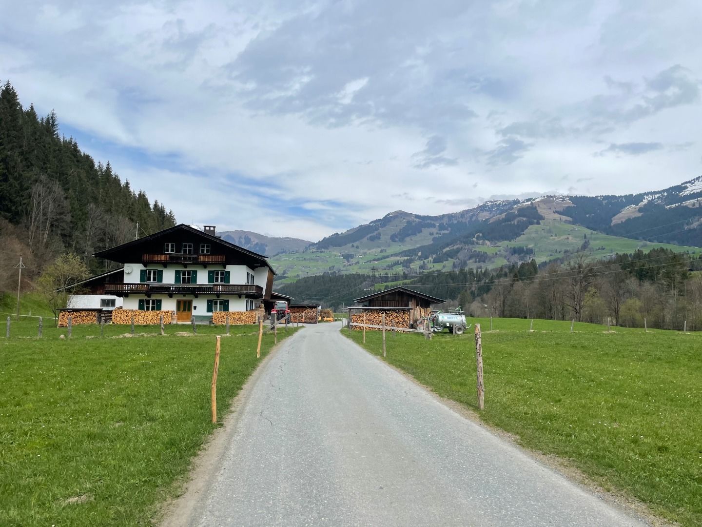
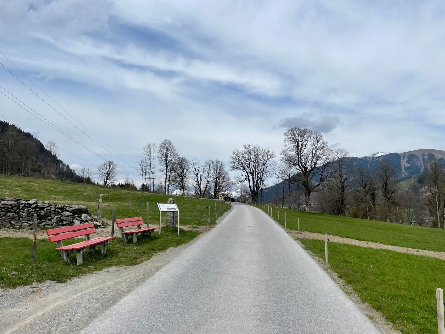
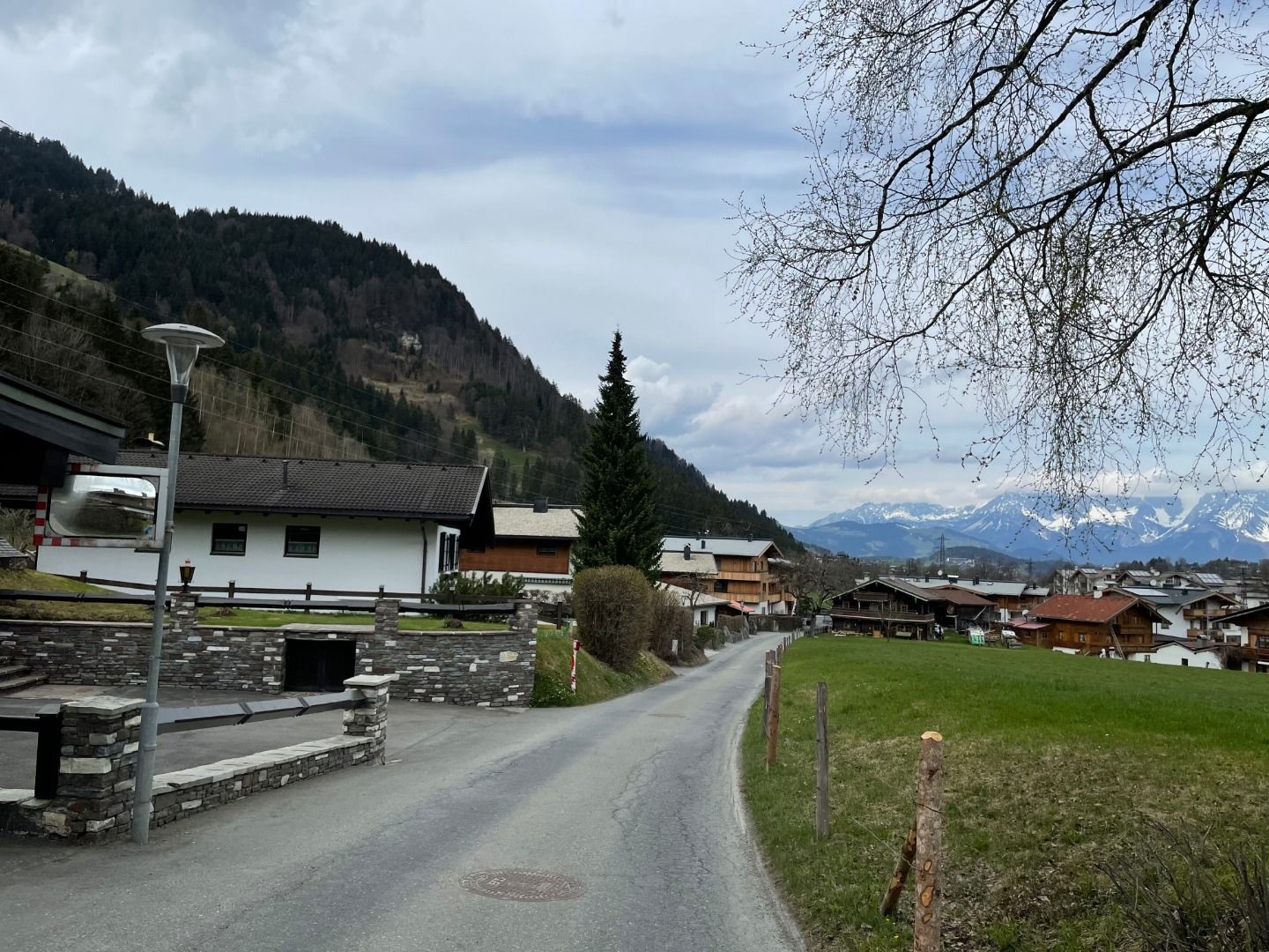
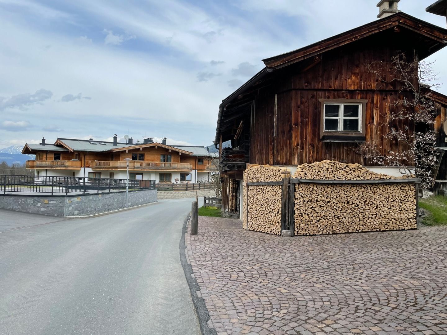
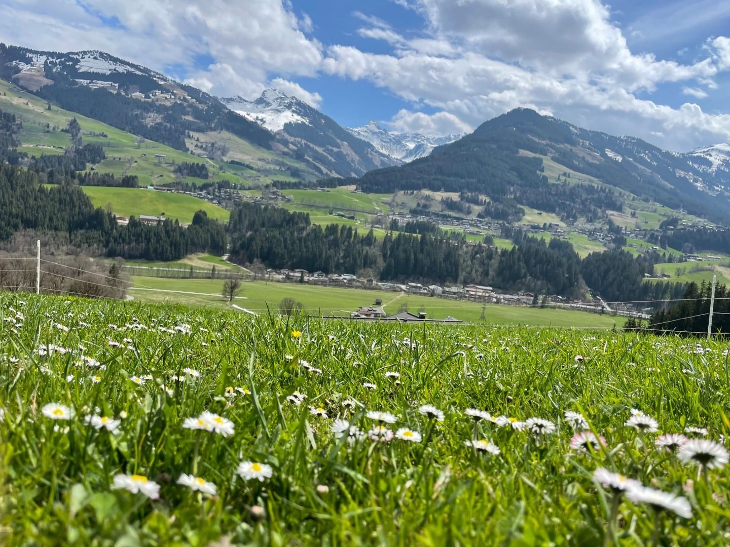
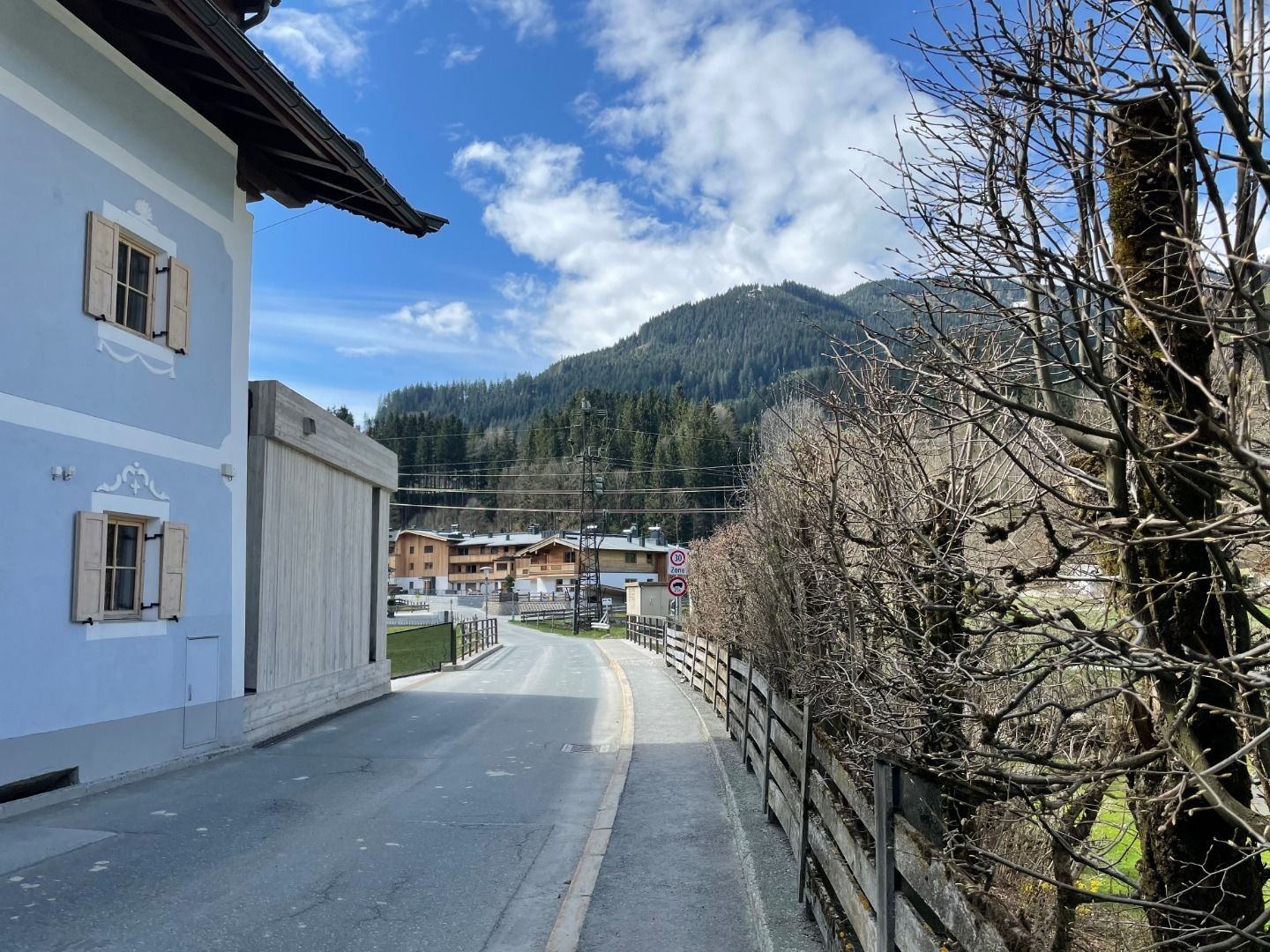
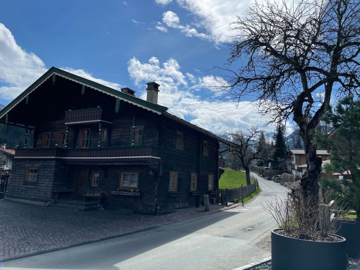
This tour starts at the hiking information point and leads along the Traidlweg, past Gasthaus Auwirt, towards "Hechenmoos-Jochberg". The route continues along the Haberbergweg and passes traditional Tyrolean mountain farms with a view of the Hohe Tauern mountain range and, in particular, Grossvenediger mountain. The path then leads to the Reischgraben stream, which you cross on a wooden bridge, continues over Bärenbichl to the alpine meadows on the "Aubergern" plateau. The plateau is a moraine from the last ice age. The route back follows the Auracher Auen back to the starting point.
Facts
equipment
Sturdy, ankle-high footwear, functional mountain clothing, waterproofs, sun protection, plenty to drink, a comfortable backpack, hiking poles, snacks